Builder
Engine
Solutions
Pricing
Blog
Login
Sign up
©
OpenStreetMap
contributors ©
CARTO
, ©
CARTO
x
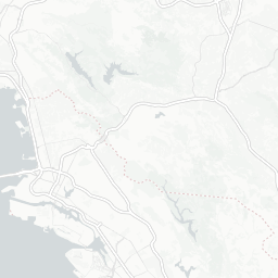
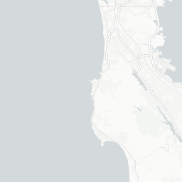
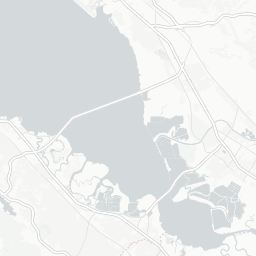
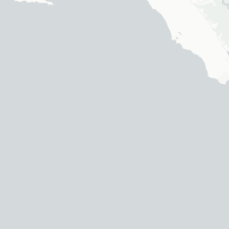
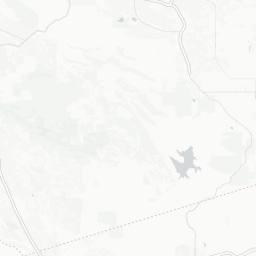
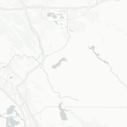
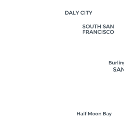
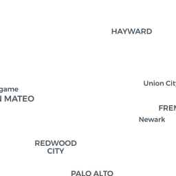
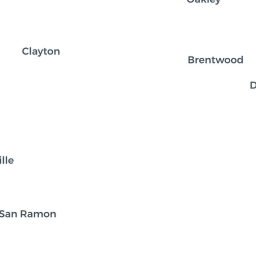
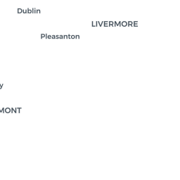
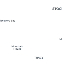
55" sea level rise
Inundation at 55" Sea Level Rise
x
Share this map
Social
Share on Facebook
Share on Twitter
Link to this map
Embed this map
<iframe width='100%' height='520' frameborder='0' src='https://kqedscience.carto.com/viz/76c95b64-13b9-11e6-8913-0ecfd53eb7d3/embed_map' allowfullscreen webkitallowfullscreen mozallowfullscreen oallowfullscreen msallowfullscreen></iframe>
+
-
CARTO
This visualization only works in modern browsers. Upgrade yours and enjoy.
Safari
Chrome
Firefox
kqedscience
Maps
Edit in CARTO
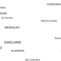
Sites at Risk from Sea Level Rise
almost 9 years ago
17,582 mapviews
More info
Datasets in use
slr_6ft_1
public
1.66K rows
almost 9 years ago
us_counties
public
3.9K rows
almost 2 years ago
untitled_table_5
public
3 rows
almost 9 years ago
untitled_table_1
public
11 rows
almost 9 years ago
More from kqedscience
Sea Level Rise
almost 2 years ago
Test 01
almost 7 years ago
Untitled map 3
over 7 years ago